Laragh (Irish: An Láithreach – meaning "the site, or ruins, of a building") is a small picturesque village in County Wicklow, Ireland. It lies at the junction of three roads (the R115, R755, and R756) through the Wicklow Mountains and is primarily known for its proximity to the monastic settlement of Glendalough. Sally Gap and the Glenmacnass Waterfall are to the north, to the west is Glendalough and the Wicklow Gap, and to the south is the Glenmalure Valley. The area is deeply wooded, the hills and mountains rising directly from the valley, and hill walkers, hikers, and other tourists converge on the village – given its closeness to Dublin – as their centre for recreational activities in the mountains. About 5 km from the village, on the Rathdrum road, the Clara Lara fun park covers an area of some 40 ha.
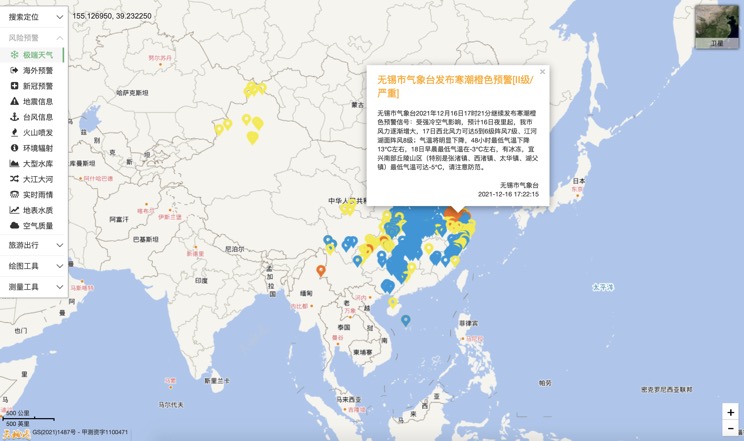
Extreme weather in China
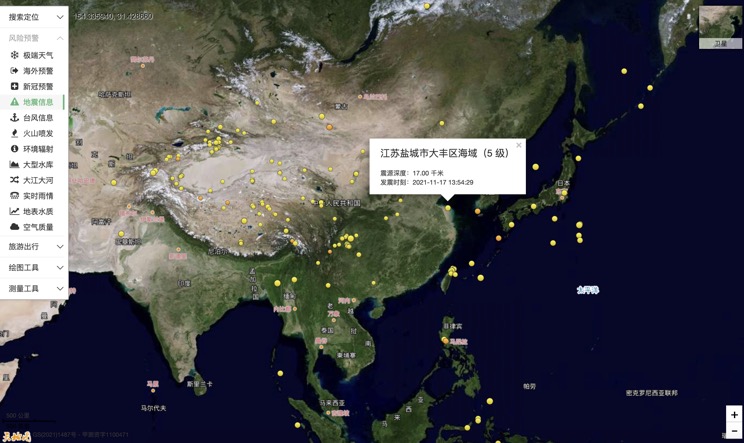
China Earthquake Information
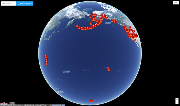
Volcano eruption
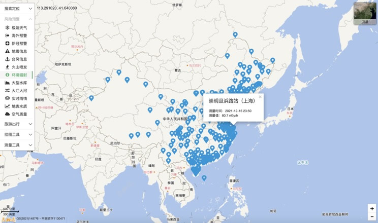
Environmental Radiation in China
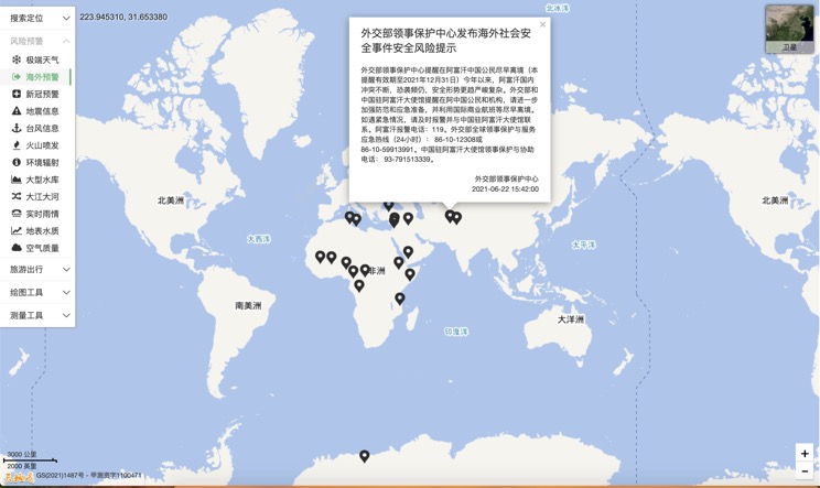
Overseas Warning
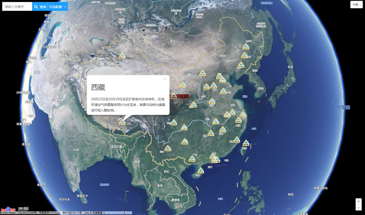
China's air quality
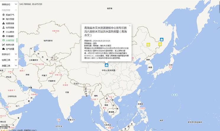
China's Water Disaster Alert
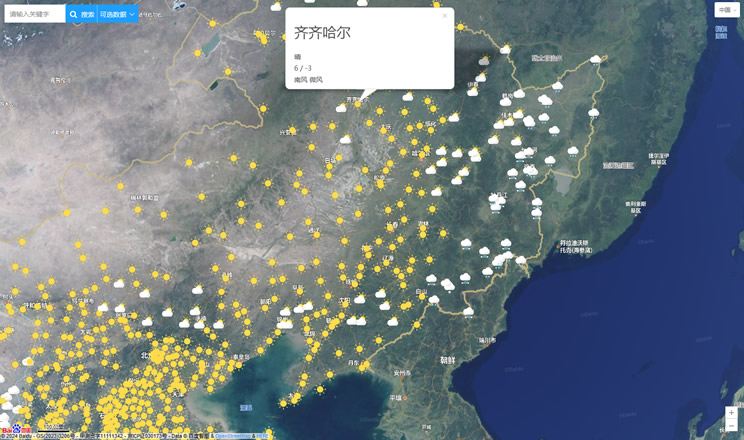
China Weather Forecast
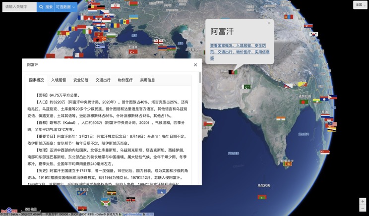
Introduction to Countries
China Subway Lines

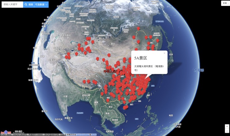
China's 5A Scenic Spots
Provincial Capitals in China
